[ad_1]

Vehicle traffic has long defied description. Once measured roughly through visual inspection and traffic cameras, new smartphone crowdsourcing tools are now quantifying traffic far more precisely. This popular method, however, also presents a problem: Accurate measurements require a lot of data and users.
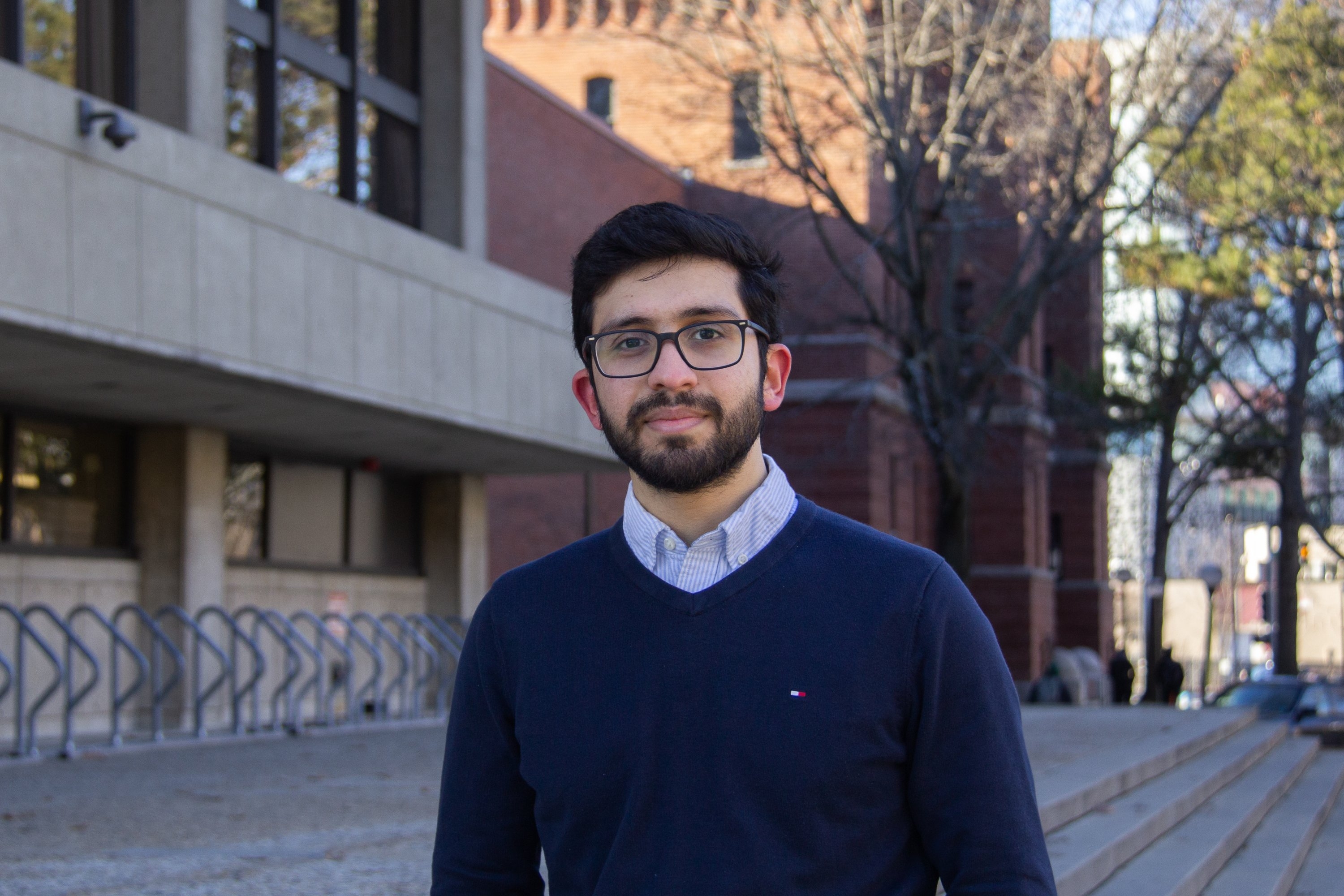
Meshkat Botshekan, an MIT PhD student in civil and environmental engineering and research assistant at the MIT Concrete Sustainability Hub, has sought to expand on crowdsourcing methods by looking into the physics of traffic. During his time as a doctoral candidate, he has helped develop Carbin, a smartphone-based roadway crowdsourcing tool created by MIT CSHub and the University of Massachusetts Dartmouth, and used its data to offer more insight into the physics of traffic — from the formation of traffic jams to the inference of traffic phase and driving behavior. Here, he explains how recent findings can allow smartphones to infer traffic properties from the measurements of a single vehicle.
Q: Numerous navigation apps already measure traffic. Why do we need alternatives?
A: Traffic characteristics have always been tough to measure. In the past, visual inspection and cameras were used to produce traffic metrics. So, there’s no denying that today’s navigation tools apps offer a superior alternative. Yet even these modern tools have gaps.
Chief among them is their dependence on spatially distributed user counts: Essentially, these apps tally up their users on road segments to estimate the density of traffic. While this approach may seem adequate, it is both vulnerable to manipulation, as demonstrated in some viral videos, and requires immense quantities of data for reliable estimates. Processing these data is so time- and resource-intensive that, despite their availability, they can’t be used to quantify traffic effectively across a whole road network. As a result, this immense quantity of traffic data isn’t actually optimal for traffic management.
Q: How could new technologies improve how we measure traffic?
A: New alternatives have the potential to offer two improvements over existing methods: First, they can extrapolate far more about traffic with far fewer data. Second, they can cost a fraction of the price while offering a far simpler method of data collection. Just like Waze and Google Maps, they rely on crowdsourcing data from users. Yet, they are grounded in the incorporation of high-level statistical physics into data analysis.
For instance, the Carbin app, which we are developing in collaboration with UMass Dartmouth, applies principles of statistical physics to existing traffic models to entirely forgo the need for user counts. Instead, it can infer traffic density and driver behavior using the input of a smartphone mounted in single vehicle.
The method at the heart of the app, which was published last fall in Physical Review E, treats vehicles like particles in a many-body system. Just as the behavior of a closed many-body system can be understood through observing the behavior of an individual particle relying on the ergodic theorem of statistical physics, we can characterize traffic through the fluctuations in speed and position of a single vehicle across a road. As a result, we can infer the behavior and density of traffic on a segment of a road.
As far less data is required, this method is more rapid and makes data management more manageable. But most importantly, it also has the potential to make traffic data less expensive and accessible to those that need it.
Q: Who are some of the parties that would benefit from new technologies?
A: More accessible and sophisticated traffic data would benefit more than just drivers seeking smoother, faster routes. It would also enable state and city departments of transportation (DOTs) to make local and collective interventions that advance the critical transportation objectives of equity, safety, and sustainability.
As a safety solution, new data collection technologies could pinpoint dangerous driving conditions on a much finer scale to inform improved traffic calming measures. And since socially vulnerable communities experience traffic violence disproportionately, these interventions would have the added benefit of addressing pressing equity concerns.
There would also be an environmental benefit. DOTs could mitigate vehicle emissions by identifying minute deviations in traffic flow. This would present them with more opportunities to mitigate the idling and congestion that generate excess fuel consumption.
As we’ve seen, these three challenges have become increasingly acute, especially in urban areas. Yet, the data needed to address them exists already — and is being gathered by smartphones and telematics devices all over the world. So, to ensure a safer, more sustainable road network, it will be crucial to incorporate these data collection methods into our decision-making.
[ad_2]
Source link